Not Set
Steel barge abandoned at the north end of Cockle Bank land reclamation, on the west side of the Cattewater, Plymouth.
Type
Unpowered steel barge
History
The barge was abandoned in its present location sometime before 2000 and was photographed in 2020 by The SHIPS Project. There used to be a 26m long steel barge alongside this hulk in 2001 which was removed in 2010. The barge may be similar in design to the hulk Laira Bridge 1.
In the book Lost Ships of the West Country it notes that a small 40ft steamer used to lie on the beach outside Passage House Inn, by Cattedown Wharves, at the southern end of the Cockle Bank. It is thought that the remains of this ship were buried when Cockle Bank was reclaimed.
Description
The barge appears to be intact and is buried in the seabed to deck level on the northern side with 1m of topside visible to the south.
Location and Access
The hulk lies between the North end of the Cockle Bank and the southern end of Martin's Wharf, Cattewater, Plymouth.
Nearby hulks include Prince Rock 1 ![]() , Laira Bridge 1 & 2
, Laira Bridge 1 & 2 ![]() , Baltic Surveyor
, Baltic Surveyor ![]() , the Plym dredger
, the Plym dredger ![]() and the Ocean Maid
and the Ocean Maid ![]()
Last updated 04 Jan 2021
Position OS: SX 49858 53824
Position GPS: 50.365122, -4.112401
Show the site on Google Maps


The barge can be seen at low tide springs from the path around the North side of TR2, accessible from Finnegan Road or Neptune Park.
Information
Date Built:
Unknown
Builder:
Unknown
Official Number:
Unknown
Length
21m
Width
6m
Depth in Hold
Unknown
Construction
Steel, single hold
Propulsion
None
Tonnage
Unknown
Portmarks
None
Outcome
Abandoned before 2000
Reference
Unknown
Not Set
Leave a message
Your email address will not be published.
Click the images for a larger version
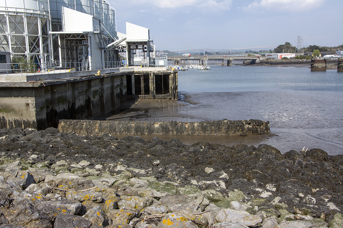
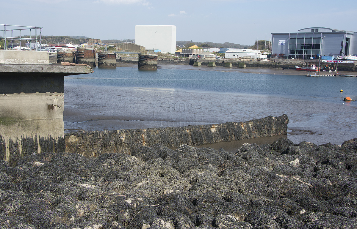
Image use policy
Our images can be used under a CC attribution non-commercial licence (unless stated otherwise).